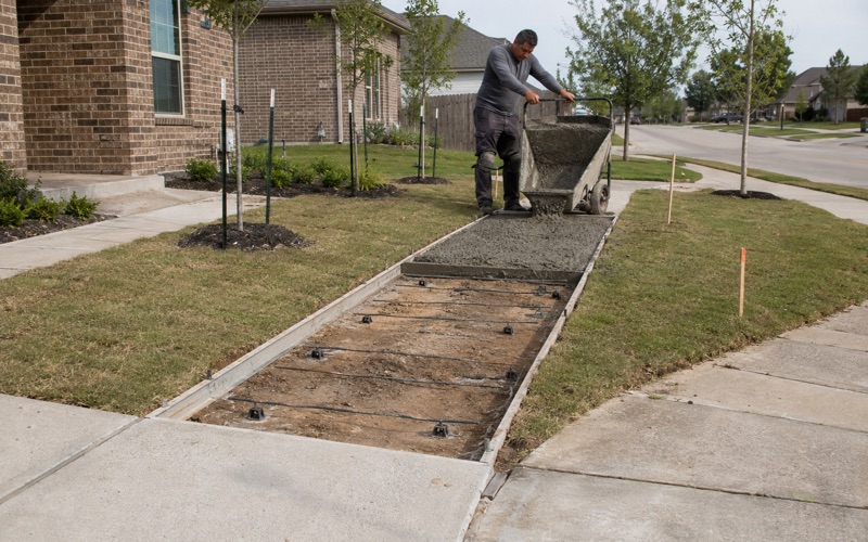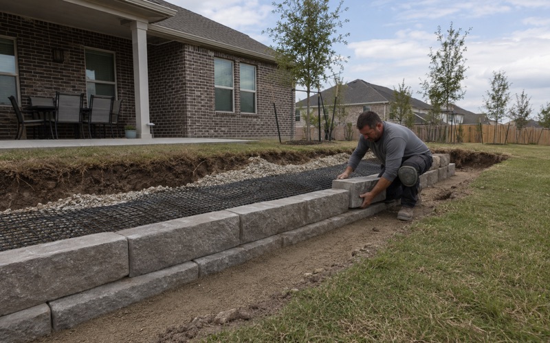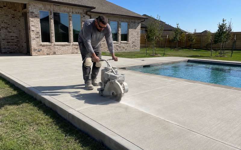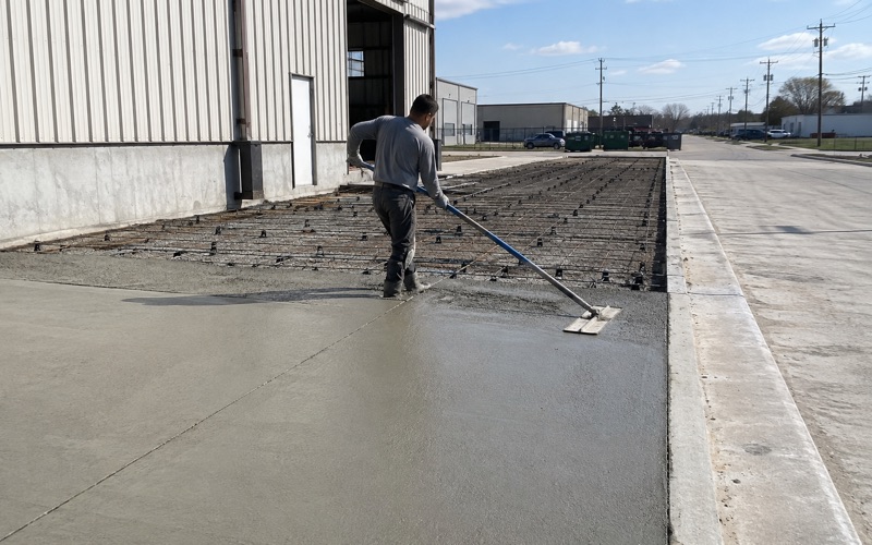
Kyle Elite Concrete works as a concrete contractor in Wyldwood, TX, and the work here is mostly pads rather than driveways. That is not a stylistic observation about the market; it follows directly from what the housing stock is, and it changes what we are asked to build on almost every job.
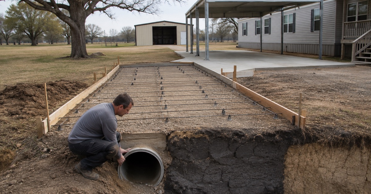
The ground supports that shift in its own way. The surface across most of this place is sand, which reads as easy digging and easy bearing, and directly beneath a good deal of that sand sits high-plasticity clay at a depth shallow enough that a routine base cut lands straight in it.
So the two things worth establishing before pricing are what you actually want poured and how thick the sand cap is where you want it. Neither is visible from a photograph, and the second one is not visible from the surface at all.
Pads Rather Than Driveways
What the Housing Stock Actually Is
Of 1,463 dwellings recorded here, 279 are boat, RV or van, which is 19.1 percent, and a further 519 are mobile homes. Between them that is 798 units with no slab and no attached garage anywhere on the property.
That single figure reshapes the whole conversation before it starts. More than half the dwellings in this place have never had the piece of concrete a suburban contractor treats as the default job, so the work is usually creating a pad where none has ever existed rather than replacing one that has worn out. The design starts from the load rather than from what was there before.
RV, Boat and Van Sites
An RV site is a specific piece of engineering rather than a small driveway. The load concentrates through a heavy axle in the same wheel path every time the vehicle is positioned, and it sits static for long periods rather than rolling across the surface.
Getting the surface true matters more than it does on a drive, because the vehicle has to sit level and its own jacks have a limited range to correct with. We size thickness and reinforcement for the axle load rather than for the area, and we set the surface flat rather than sloping it the way a driveway would be sloped for runoff.
Manufactured Home Sites
Around a manufactured home the flatwork is a family of small elements rather than one large pour: pads, steps, ramps, skirting aprons, carport slabs and a landing at each door. Each has its own bearing question and its own drainage question.
Steps and ramps in particular have to be built to consistent riser heights and genuinely usable slopes, because they are the pieces of concrete people interact with several times a day. We scope the whole set together where we can, since adding them piecemeal over several years is exactly how the levels stop agreeing with one another and a trip point appears.
Looking for concrete-contractor closer to Seguin? See Concrete-Contractor Services in Seguin.
A Five-Inch Sand Cap Over Claypan
Edge Gravelly Fine Sandy Loam at 44.6 Percent
One map unit covers 44.6 percent of this place: Edge gravelly fine sandy loam on 3 to 8 percent slopes. Counting all four Edge units together, an Edge unit covers 53.8 percent of the place, and Edge is 55.2 percent of the area-weighted major component share.
Behind it come Tabor fine sandy loam at 11.06 percent, Vernia very gravelly loamy sand at 6.56 percent, two Crockett units at 5.97 and 5.45 percent, and another Edge unit at 4.92 percent. Alfisols account for 93.7 percent of the ground by area-weighted share, which makes this one of the more consistent places we work in terms of soil order, if not in terms of behavior.
Thirteen Centimeters, and What Sits Directly Under It
The Edge component in the largest unit runs its first horizon from the surface to 13 centimeters at 8.5 percent clay and 64.6 percent sand, with a liquid limit of 21 and a plasticity index of 5. Directly beneath that, from 13 to 41 centimeters, sits material at 47.5 percent clay with a liquid limit of 56.5, a plasticity index of 36 and linear extensibility of 7.5 percent.
Thirteen centimeters is about 5.1 inches. A grade cut for base under a four-inch slab reaches that plasticity-index-36 clay immediately, which means what looks like sandy soil at the surface is a lid rather than a subgrade. Saturated hydraulic conductivity drops from 9 to 0.21 micrometers per second across the same boundary.
Why the Map Unit Tells You the Depth
The other Edge units carry a thicker cap over the same clay. One runs its surface horizon to 30 centimeters at a plasticity index of 4 before the clay begins, and another to 28 centimeters at a plasticity index of 3. The cap therefore varies from about five inches to about twelve inches across the same underlying material.
That range is the whole design question on this ground, and the eye cannot resolve it because the surface looks identical whichever case you are standing on. The map unit is what indicates which case a lot is likely to be in, and a test hole is what actually confirms it. We do both rather than assuming the thicker figure and discovering the thinner one with a machine.
The Opposite Soil in the Same Place
Vernia, Four Feet of Clean Sand
Vernia very gravelly loamy sand covers 6.56 percent of the place and behaves in the opposite direction entirely. It is a single horizon running from the surface to 122 centimeters, which is four feet, at 6.5 percent clay and 84.3 percent sand, with a liquid limit of 12.5, a plasticity index of 4 and linear extensibility of 1.5 percent.
Its saturated hydraulic conductivity is 92 micrometers per second and it sits in hydrologic group A, which is the freest-draining classification there is. Four feet of clean sand brings no seasonal movement at all and no bearing from cohesion either, so the base has to be engineered to provide what the ground itself does not offer. That is a different job from building on the Edge units.
Tabor, and Water That Perches
Tabor covers about 13.6 percent of the place and is the perched-water case. It runs a surface horizon and an E horizon to 34 centimeters, both at 14 percent clay and a plasticity index of 7, over material from 34 to 108 centimeters at 45 percent clay with a liquid limit of 61, a plasticity index of 37 and linear extensibility of 9.3 percent.
Its dual hydrologic group reflects a water table that perches above that dense layer rather than draining down through it. Its taxonomic subgroup is named as both vertic and oxyaquic, which is the classification’s own way of saying that it both moves seasonally and holds water. A slab on Tabor therefore has two problems to answer rather than one.
Well Drained on Top, Group D Underneath
The largest Edge unit is rated hydrologic group D despite a drainage class of well drained, and the apparent contradiction is the most useful fact on this page. Surface infiltration is set by the sand while runoff behavior is set by the claypan beneath it.
That is exactly what puts water on top of the dense layer under a slab after a storm. A base designed for the surface reading alone traps it there, so the drainage detail has to give that water a lateral route out rather than assuming it will keep going down.
Slope, Access and What the County Permits
Slope Is a Live Constraint Here
Area-weighted, 46.1 percent of this place sits on 3 to 8 percent slopes, with a further 9.9 percent on ground rated to reach 10 percent or more, including 5.0 percent on 5 to 10 percent slopes and 1.6 percent on 5 to 20 percent. Only about 7 percent is rated near level.
Most flat-country assumptions therefore do not hold here. Pads on sloping ground need cut and fill, sometimes need retaining behind or below them, and always need a decision about where the water displaced by a new impervious surface actually goes. None of that is captured by a price per square foot, which is why we scope it separately and show it.
Getting a Truck to the Pour
Access is a real line item in this place rather than an afterthought. Long private drives, sloping approaches and sites set well back from the road all affect whether a mixer can reach the pour directly or whether the concrete has to be moved the last stretch by other means.
Water for mixing and washout is also a per-site question here rather than an assumption. Supply is through a water supply corporation rather than a municipal utility, and service at a given tract depends on an existing membership and meter on that tract, so we confirm it rather than turning up expecting a hose bib.
The County Development Permit Reaches Paving
There is no municipality here, and it would be quite wrong to conclude from that that nothing applies. The county development permit reaches grading and paving by its own definition, so the work sits inside a permitting system even though no municipal building department exists to issue anything.
Which class of county development permit a job takes, and what the fee attached to it comes to, depends on the mapped hazard status of the particular parcel. We establish that at the estimate stage rather than treating it as paperwork to be resolved once a crew is already booked and a date has been promised to somebody.
- 20+ Years in Hays County
- Insured & Permitted
- Free Estimates