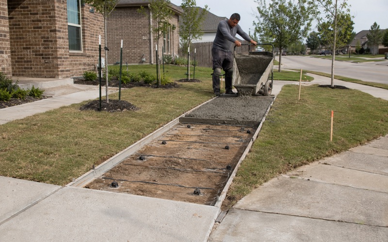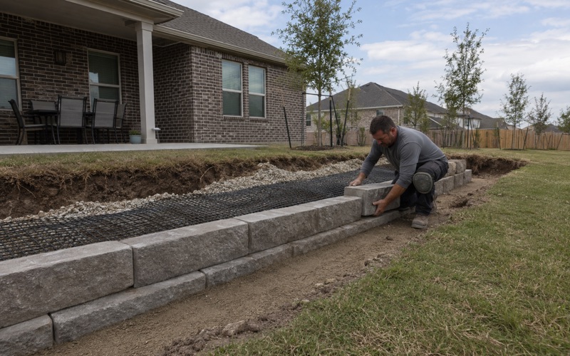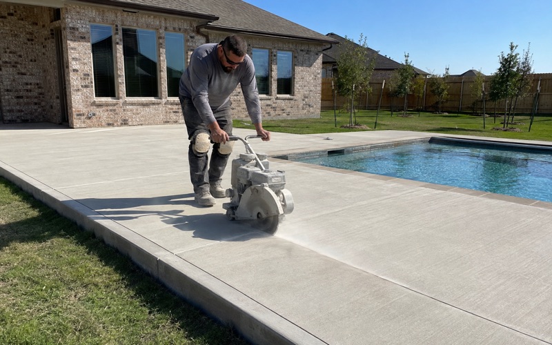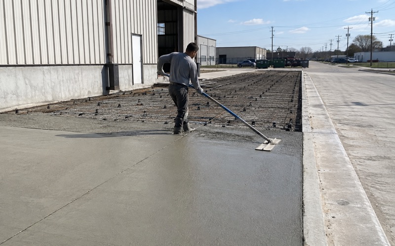
Kyle Elite Concrete works as a concrete contractor in Manchaca, TX on driveways, approaches, slabs, patios and repair work, and the ground here is not what a crew coming east off the escarpment expects to find. It is deep, it is active, and it sits on rock at a depth that matters.
The soil most of this place is built on is Crawford clay, and it behaves differently from anything on the hills to the west. It runs deep, it keeps the same character the whole way down, and what lies beneath it matters as much as the clay itself does.
Getting that right changes what a slab costs and how it is detailed. Getting it wrong, by assuming the ground here behaves like the calcareous soils elsewhere in the same survey area, produces a driveway detailed for far less movement than it will actually see.
Deep Clay Over Rock, Which Is the Hard Combination
Crawford Clay at the Center of the Place
Crawford is the dominant soil across Manchaca and it is a genuinely active clay. Its surface horizon, the top 15 centimeters, carries a representative plasticity index of 36 with a liquid limit of 64 at 50 percent clay. Its Bss horizon below that, running from 15 to 81 centimeters, reads almost identically at plasticity index 37 and liquid limit 65.
What is unusual is how consistent those numbers are down the profile. Many soils offer a calmer layer partway down that a footing or a thickened edge can be taken to, and this one does not. From the surface to the rock it is one continuous body of the same active material, which removes an option a designer would otherwise have.
Nearly a Meter of Clay Above Indurated Rock
Crawford in the 0 to 1 percent slope map unit carries indurated lithic bedrock at a representative 81 centimeters, roughly 32 inches, with other Crawford components in the same survey area recorded at 71 and 86 centimeters. That is deep enough that a slab is not bearing on rock, and shallow enough that the clay has nowhere to dissipate its movement downward.
That stack is the whole problem in one sentence. A slab here sits on nearly a meter of active clay with an unyielding floor beneath it, so seasonal moisture change has only one direction to express itself and that direction is upward into the slab. Deeper profiles let some of that movement dissipate before it reaches the surface; this one does not.
Slickensides, and What They Record
The Bss designation on that 15 to 81 centimeter horizon marks a slickenside horizon. A slickenside is a polished, grooved surface where blocks of soil have slid past one another as the profile swelled and shrank, and here they run the full depth of that layer. They are the physical record of movement that has already happened, repeatedly, through the full depth of the profile.
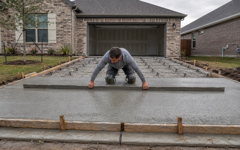
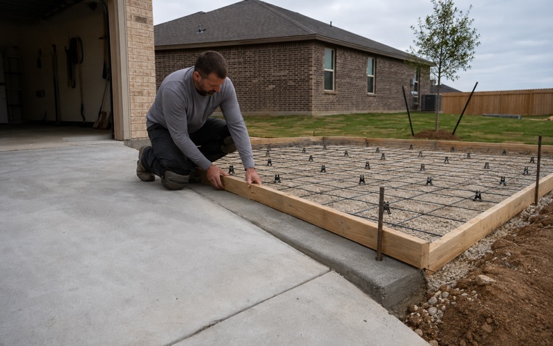
Finding slickensides through nearly the entire soil column is about as direct a signal as soil data gives you. We treat a Crawford lot as ground with a demonstrated history of movement rather than as a theoretical risk, which in practice means reinforcing sized and chaired to hold the slab together as one piece rather than a nominal mat placed to satisfy a drawing.
Looking for concrete-contractor closer to Shady Hollow? See Concrete-Contractor in Shady Hollow.
Why the Movement Here Is Not Quieted
Plasticity Index 36 Against Linear Extensibility 10 to 11 Percent
Crawford’s linear extensibility runs 10 percent in the A horizon and 11 percent in the Bss. Read alongside a plasticity index of 36 to 37, both measures point the same direction, which is not the normal pattern for this survey area.
That agreement between the two numbers is what makes Crawford predictable in an unwelcome way. There is no reading of the data on which this ground looks quiet, and a bid that hedges between the two measures is hedging against nothing. It also means a soil report here can be taken at face value rather than needing a second number to interpret the first.
One Percent Calcium Carbonate
The reason sits in the chemistry. Crawford runs 1 percent calcium carbonate through both its A and Bss horizons, where other profiles in the same survey area run 55 to 65 percent. The clay fraction here is doing its shrink-swell work without the mineral content that damps it elsewhere.
This is the single fact that most changes how we read a soil report on this place. Two profiles can report an identical plasticity index and deliver very different amounts of actual movement, and the calcium carbonate figure is usually what separates them. Anyone quoting a Manchaca slab from the plasticity index alone is working with half the information.
Expansive on Both Measures at Once
Characterized simply, Crawford is ground that reads as expansive no matter which measure you pick up first, and that combination is unusual among the soils mapped around it. Plenty of nearby profiles produce an alarming plasticity index and then a modest movement figure.
We put that as characterization rather than as a citation, because the useful version for a homeowner is simpler than any published standard: on this soil both numbers agree, and the slab has to be built for what they jointly describe. That is a design conversation worth having before a price is quoted rather than after a crack appears.
The West Side and the Northeast Corner Read Differently
Denton Silty Clay, Similar Clay, Half the Movement
A point query on the west side returns Denton silty clay on 1 to 3 percent slopes at 88 percent Denton. Its horizons carry representative plasticity indices of 32, 30, 30 and 26 from the surface down to 91 centimeters, at 41 to 46 percent clay, which is not far off Crawford on either count.
Its linear extensibility tells a different story: 6.1, 5.6, 5.6 and 3.3 percent through those same horizons, roughly half what Crawford records, as calcium carbonate climbs from 10 percent at the surface to 60 percent deeper down. Denton also carries indurated lithic bedrock at 91 centimeters, about 36 inches.
Castephen and Weathered Rock at Knee Depth
The northeast corner is a third condition again. A point query there returns Castephen silty clay loam on 1 to 3 percent slopes at 95 percent Castephen, a single reported layer from 0 to 43 centimeters at plasticity index 27, liquid limit 42.5, 33.5 percent clay and linear extensibility of only 4.5 percent, over weakly coherent paralithic bedrock at about 17 inches.
That is the only rippable weathered-rock contact recorded inside the place, and it means excavation on that corner meets resistance at a depth where a Crawford lot is still in soft clay. One place, three different excavation stories depending on where you stand, which is why we would rather establish the map unit at your address than quote from a figure for the area as a whole.
The Creek Bottoms Are Sand, Not Clay
Two of the five sample points across the place fall in mixed alluvial land on 0 to 1 percent slopes, frequently flooded: a single layer from 0 to 122 centimeters at 90 percent sand and 5 percent clay, plasticity index 2 and linear extensibility 1.5 percent. That is inert material with no meaningful movement at all.
It comes with a different problem instead. Travis County Code Chapter 464 governs development in the mapped floodplains, requires that work not increase erosive water velocity either on or off the site, and requires compensatory storage where fill or structure occupies space below base flood elevation, balanced by an equivalent volume of excavation that drains freely to the watercourse. Flatwork in a creek bottom here is a drainage question before it is a concrete one.
What a Slab Here Has to Be Designed Around
Flat Ground, So Drainage Is Placed Rather Than Found
Slopes across the place run 0 to 3 percent, which means there is no helpful natural fall to carry water away from a slab. On Crawford clay at 0 to 1 percent, water goes where the contractor decides it goes, and if nobody decided, it sits at the slab edge and cycles the clay underneath.
Given a soil whose movement is driven almost entirely by moisture change, drainage design is not a finishing detail on this ground. It is the most cost-effective item on the whole job, worth more per dollar than an extra inch of concrete, and it has to be set out on the ground before anything is formed rather than adjusted once the slab is down.
Who Owns Your Frontage, the County or the State
There is no city of Manchaca and no municipal building department; the place is unincorporated Travis County inside Austin’s two-mile extraterritorial jurisdiction. A driveway approach onto a maintained Travis County road takes a county driveway permit, must be paved with concrete, and runs 12 feet minimum to 25 feet maximum at the right-of-way line at roughly 90 degrees to the road.
A driveway connecting to a state road takes a TxDOT permit instead, and the county’s own guidance states that its information does not apply to those roads. On a place organized around a farm-to-market road and a state-numbered arterial, establishing which authority owns your frontage is the first step of the job rather than a detail near the end.
The Foundation Inspection Before the Placement of Concrete
New residential construction in the unincorporated county falls under Travis County Code Chapter 480, which requires a minimum of three inspections with the first at the foundation stage before the placement of concrete, contracted by the builder from an enumerated list of qualified inspectors and reported to Travis County TNR.
On ground carrying a plasticity index of 36 and linear extensibility of 11 percent, that pre-pour look is the only outside inspection anyone makes of the reinforcement before it disappears under concrete. We schedule around it rather than treating it as an obstacle, and on permitted approaches the pre-pour inspection is mandatory in any case, with failure to call for it exposing the work to a notice to remove and replace.
- 20+ Years in Hays County
- Insured & Permitted
- Free Estimates