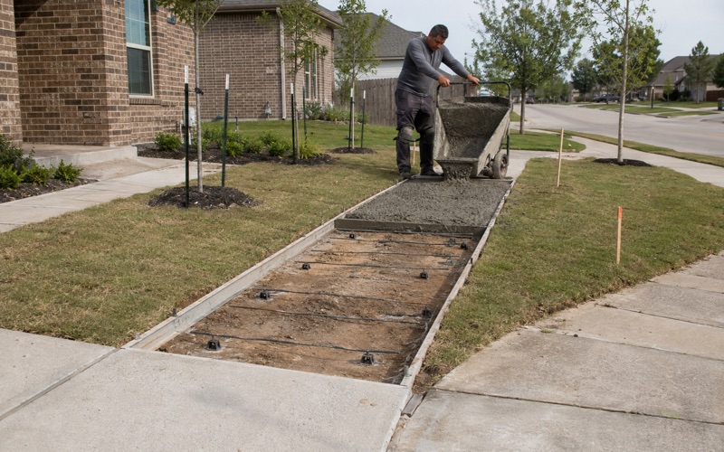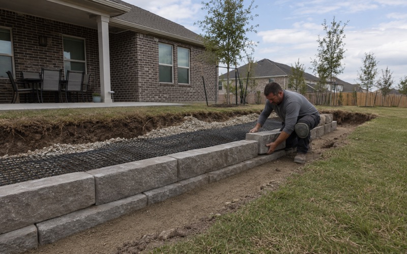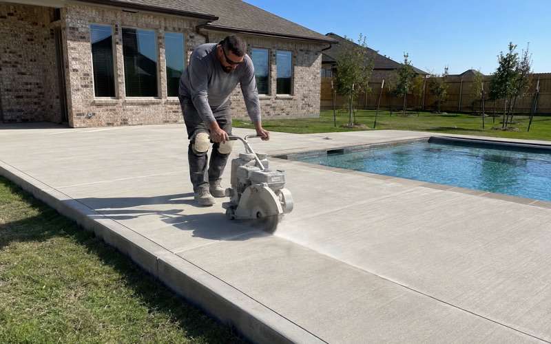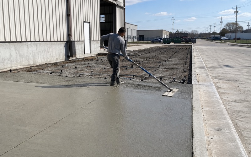
Kyle Elite Concrete works as a concrete contractor in Lake Dunlap, TX on driveways, aprons, slabs, patios, steps and shoreline flatwork, and the constraint that governs a job here is not the one that governs the clay country a few miles away. Here the ground is hard to dig and reluctant to move, which is very nearly the reverse.
That inversion is worth stating plainly because it changes where the money goes. On heavy clay the design effort and the reinforcement budget go into managing seasonal movement, while excavation is straightforward. Here the excavation is the difficult part and the movement is modest.
A contractor who arrives here with the clay-country playbook will overbuild the slab and underprice the hole, and you pay for both errors. We would rather establish which of the two conditions your lot actually presents before quoting anything, because on this place the two sit side by side within a short walk of each other and neither announces itself from the curb.
A Hardpan at Nine Inches
Petrocalcic Under Nearly a Third of the Place
Queeny gravelly loam covers 29.46 percent of the place across two slope classes, 21.32 percent at 1 to 5 percent slopes and 8.14 percent at 5 to 20 percent. All of that ground carries a strongly coherent petrocalcic restriction at a representative 23 centimeters, which is about 9 inches down.
A petrocalcic horizon is cemented caliche rather than soil, and on nearly a third of this place a machine reaches it inside the first foot. That is shallower than most footings, most service trenches and a good many thickened slab edges, so it is a cost that has to be established before a number is written rather than discovered on the day.
Queeny Is a Loamy Petrocalcic Calciustoll
Queeny itself carries 26.5 percent clay with a liquid limit of 40, a plasticity index of 21 and linear extensibility of 4.5 percent, at a saturated hydraulic conductivity of 9 micrometers per second, which works out at about 1.28 inches per hour. Those are mild numbers on both the movement and the drainage side.
So the soil above the caliche is easy ground to work and the caliche below it is emphatically not. The difficulty is concentrated in one layer at a reasonably consistent depth, which at least makes it a predictable problem once somebody has actually looked. Probing for it takes minutes rather than hours, and it is the single most useful thing anyone can do before pricing a job here.
Digging Without Over-Excavating
The temptation on cemented ground is to break out more than the job needs, because breaking is slow and nobody wants to come back to it. That costs money in removal and in the material required to build the base back up again to the right elevation.
We set the excavation depth to what the section actually requires and work to that rather than clearing down to whatever depth is convenient for the machine. Where a footing genuinely has to pass through the petrocalcic layer we price that work separately and say so on the proposal, so the line is visible to you rather than buried inside a rate per square foot.
Looking for concrete-contractor closer to Steiner Ranch? See Concrete-Contractor Services in Steiner Ranch.
Two Soils That Matter, and the Clay Minority
Sunev, the Other Half of the Story
Sunev loam covers 27.39 percent of the place across three slope classes, 16.50 percent at 1 to 3 percent, 8.44 percent at 0 to 1 percent and 2.45 percent at 3 to 5 percent eroded. It is a fine-loamy Udic Calciustoll carrying 21.5 percent clay with a liquid limit of 30, a plasticity index of 12 and linear extensibility of only 1.5 percent.
That is very nearly immobile material by any measure, and it drains at the same 9 micrometers per second as Queeny does. Between them Queeny and Sunev account for well over half the place, and Mollisols cover 65.00 percent of it overall against Vertisols at only 25.35 percent. This is river terrace ground rather than the heavy clay country it borders.
The Clay Quarter, Which Behaves the Other Way
The Vertisol share is real but it is a minority. Houston Black clay on 1 to 3 percent slopes covers 12.12 percent, Heiden clay on 3 to 5 percent slopes 4.12 percent and Branyon clay on 0 to 1 percent slopes 3.82 percent, with Lewisville silty clay adding 6.23 percent at a plasticity index of 29 and linear extensibility of 7.5 percent.
Excavation difficulty and movement risk are therefore largely inverted here. The ground that is hardest to dig is the ground least likely to move, and the quarter carrying Vertisols is easy to dig and is what actually moves. Those are two different jobs, and they are mapped a few hundred yards apart.
River Terrace Gravels Rather Than Weathered Clay
Parent material explains the pattern. Some 29.46 percent of the named components formed in gravelly Quaternary alluvium and 27.39 percent in loamy Quaternary alluvium, with 11.74 percent in Cretaceous mudstone residuum. These are Guadalupe River terrace gravels rather than clay weathering in place.
Away from the cemented ground, 62.55 percent of the place records no profile restriction whatever down to 200 centimeters, with densic material at 147 centimeters under a further 5.26 percent. So the place divides fairly cleanly into ground that stops a machine within the first foot and ground that does not stop it at any depth a residential job will reach.
Every Street Here Is County or Private
No State Road Inside the Boundary
There is no state-maintained roadway anywhere inside this place. FM 725 runs along the boundary, SH 46 and FM 758 lie about a quarter mile off, and IH-35 is a little under two miles west, but none of them passes through.
The practical consequence is that a driveway apron here is a Guadalupe County Road and Bridge matter in every case, and the alternative permitting route that applies in several neighboring places simply does not arise at all. That is a rare simplification in this area, and it removes the first question we normally have to ask before a schedule can be built.
Where County Authority Stops
The county’s definition of a driveway marks the boundary of its authority precisely: an access constructed within a public right-of-way, connecting a public street with adjacent property. The portion of your drive on private ground sits outside that definition and outside the permit that attaches to the apron.
There is also no county building permit for detached residential flatwork anywhere in the unincorporated county. The Fire Marshal’s permit scope reaches new commercial and public buildings, remodels for a new type of business, business occupancy and multi-family of five or more units, and a residential patio, carport pad, runner strip or set of steps appears in none of those categories at all.
The County’s Own Concrete Specification
Where the county does accept work it publishes what it expects, and the text is quotable. Its subdivision regulations require ribbon curb to be 3000 pound concrete, taken to a bottom elevation six inches below the subgrade elevation, 8 inches wide, with a continuous number 3 rebar running through it.
The flexible base beneath must reach not less than 98 percent density tested to the state highway department’s own test method, with proof rolling, and the completed base has to be inspected and approved in writing before any pavement is replaced. Those are checkable standards and we build to them.
Flood Ground and the Shoreline
Nearly Two Fifths Inside a Flood Hazard Area
Grid sampling puts 39.18 percent of the place inside a Special Flood Hazard Area, split as 18.05 percent Zone AE, 17.36 percent regulatory floodway and 3.77 percent Zone A. Only 46.23 percent is Zone X at minimal hazard, with a further 14.59 percent carrying the 0.2 percent annual chance designation.
The floodway share is the one that matters most and it covers more than a sixth of the place. Floodway is the class where placing fill or structures faces the tightest restriction of all, so a raised pad or a thickened-edge apron on that ground is a floodplain permit conversation before it is a concrete one.
Flatwork Is Development by Definition
The county defines development to include all land modification activities, naming buildings, streets, paved storage areas, parking lots, stormwater facilities and other impervious structures or surfaces. Flatwork is development under that wording, which is what pulls a slab inside a mapped flood zone into the Floodplain Development Permit requirement.
So the same patio can require an approval on one lot and none at all on the next, decided entirely by which mapped flood zone it happens to sit in. We check that at the estimate stage rather than after a design has been agreed and priced, because moving a slab on paper costs nothing and moving it after the forms are set costs a great deal.
Shoreline Work and a Lake That Has Moved
The reservoir here is an engineered impoundment with a recent and consequential history. The dam dates from 1931, and in May 2019 its middle spill gate failed, attributed to aging structural steel, dropping the lake by about 12 feet until replacement construction completed at the end of August 2023 and full level was restored that October.
That four-year drawdown is a service condition rather than a historical aside. Shoreline steps, boat ramp aprons and bank-edge slabs stood above a lowered water line for those years and were only re-submerged to their design level at the end of 2023, which is worth knowing when assessing what a shoreline slab has actually been through.
- 20+ Years in Hays County
- Insured & Permitted
- Free Estimates