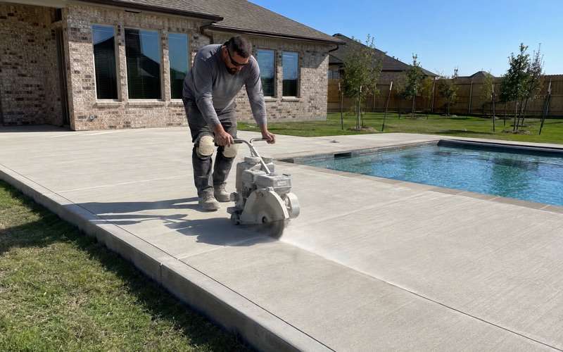
Kyle Elite Concrete works as a concrete contractor in Hornsby Bend, TX on driveways, approaches, pads, slabs and repair work, and the design question that decides a slab here is where the water goes rather than how much the clay moves. That is the reverse of the priority we bring to jobs a few miles north and east.
The ground is river-terrace alluvium sitting low against the Colorado, which forms both the western and southern flanks of the place. Material deposited by a river is layered and variable by nature, and it drains in ways that change substantially over short distances.
What that means practically is that two neighboring lots can want different bases, different falls and different approach details, and the reason will be permeability rather than plasticity. Thirty distinct soil map units fall inside nine and a half square miles here, so a quote priced off a neighbor’s conditions half a mile away is a guess.
Terrace Alluvium and What It Is Made Of
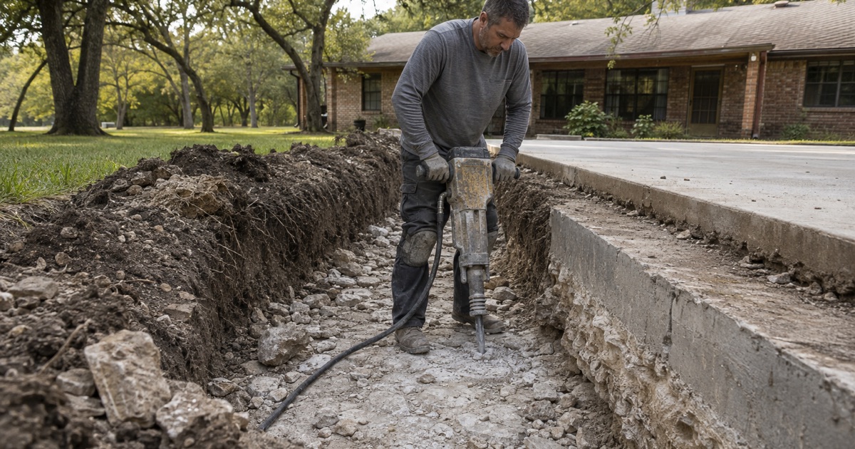
Bergstrom Across Nearly a Third of the Sample
A 194-point grid clipped to the place boundary returns Bergstrom as the leading component at 31.4 percent of points, ahead of Yahola at 11.9 percent, Heaton at 8.8 percent, Travis at 7.2 percent, and Weswood, Tinn and Houston Black at just over 6 percent each. Ferris, Burleson and Wilson follow behind those.
Bergstrom silty clay loam and silt loam are Cumulic Haplustolls, well drained, in hydrologic soil group B, carrying a representative plasticity index of 17 to 19 with a liquid limit of 37 to 39 at 19.5 to 31.5 percent clay. Their saturated hydraulic conductivity is 9.0 micrometers per second and the profile is described to 203 centimeters with no restrictive layer at all.
Three Soil Orders, Each Holding a Fifth or More
By soil order the sample runs Mollisols 31.4 percent, Vertisols 24.7 percent, Alfisols 20.6 percent, Entisols 13.9 percent and Inceptisols 6.7 percent, with a little under 3 percent open water. Three separate orders each hold a fifth or more of the ground, which is a genuinely wide spread for a place this size.
Each of those orders wants something different from a subgrade crew. The alluvial Mollisols drain and bear well, the Vertisol quarter moves with the seasons, and the Alfisols layer a light surface over a much denser subsoil. The correct detail depends entirely on which of the three a particular lot has drawn, and there is no single specification that serves all three honestly.
There Is No Rock to Price Around
Not one leading component in the 194-point sample carries a lithic or paralithic restriction within a meter, and the Bergstrom, Yahola, Tinn, Houston Black, Burleson and Wilson profiles are all described to between 152 and 204 centimeters with no restrictive layer recorded whatever.
Excavation here is therefore not priced by how deep a machine gets before it stops. It is priced by which of several unrelated soils the trench happens to open in, which is a different kind of uncertainty and one that a site visit resolves quickly rather than expensively. That is a good trade, because the answer is cheap to obtain and the consequence of guessing is not.
Looking for concrete-contractor closer to New Braunfels? See Concrete-Contractor Services in New Braunfels.
Hydrologic Group A Beside Group B
Yahola, Free-Draining Sand
Yahola very fine sandy loam is a Udic Ustifluvent sitting in hydrologic group A, carrying a plasticity index of only 4 to 5 with a liquid limit of 20.5 to 23 at 14 to 20 percent clay. Its saturated hydraulic conductivity is 28 micrometers per second, roughly three times the Bergstrom figure beside it.
That is free-draining sand, and a base course laid on it behaves nothing like a base course laid on heavier ground. It compacts differently, it holds a grade differently, and water arriving under a slab on Yahola drains away rather than sitting there. What the drainage detail has to achieve is therefore quite different, and copying one from a clay job would be solving a problem this lot does not have.
Four Groups Inside One Place
Hydrologic soil groups split this place four ways: group B at 46.9 percent of points, D at 28.9 percent, A at 13.9 percent and C at 10.3 percent. About sixty-one percent of the ground drains freely and about twenty-nine percent effectively does not.
That is the single most useful figure on this page for anyone planning flatwork here. Two lots on the same street can sit on either side of that divide, and the drainage design that suits one will be either wasted money or an inadequate answer on the other. Neither error is visible until a wet season arrives, which is why we establish the group before designing.
Low Linear Extensibility Across the Alluvium
Linear extensibility across the leading alluvial components is low: 4.5 percent for both Bergstrom map units, 1.5 percent for Yahola, 1.5 percent for Heaton and 1.5 to 4.5 percent for Travis and Weswood. Seasonal ground movement is simply not the governing risk across the majority of this place.
The Vertisol quarter is the exception and it is worth pricing differently. Tinn clay carries a plasticity index of 41 with linear extensibility of 9.3 to 10 percent, Houston Black 44 to 45 with 12 percent, Ferris 45 to 59 with 7.5 to 17 percent, and Burleson 41 to 44 with 7.2 to 8.0 percent.
Sand Over a Clayey Subsoil
Heaton Loamy Fine Sand
Heaton loamy fine sand is an Arenic Paleustalf in hydrologic group B, and its plasticity index ranges from 2 to 15 through the profile with clay as low as 7.5 percent at the surface. It is the classic layered arrangement: a light, loose surface horizon sitting on a much clayier subsoil below.
A soil like that presents a differential-support problem rather than a movement problem. The top compacts and drains much like a sand, while the layer that actually governs where water goes sits underneath it. A slab therefore bears on one material and is affected throughout its life by another, and a base built for the surface alone leaves the second one entirely unaddressed.
Building a Base for the Layering
Where a light surface sits over a denser horizon, the base has to be built deliberately rather than assumed from a thickness table. That can mean removing loose material, compacting to a verified density and building a base that both carries the load and gives water a lateral route out rather than trapping it above the clay.
We describe those layers explicitly on the proposal rather than pricing by square footage alone. A slab quoted purely on area invites the cheapest possible answer to every question below it, and below the surface is exactly where this ground does its damage. Writing the layers down also gives you something to hold us to once the concrete has covered them.
Wet Ground Is Well Drained Ground Here
Bergstrom, Yahola and Weswood are all classed as well drained, and it is worth understanding why that is not the reassurance it sounds like. They are well drained because they are permeable alluvium, not because the sites are high, and much of this ground sits low against the river.
Depth to water table and flood frequency, rather than clay behavior, are what a slab detail here is really answering. Fully 57.7 percent of sampled points fall in a map unit whose own name carries a flooding phrase, which is the soil survey’s judgment about the ground independent of any federal map.
Flood Mapping, Permits and the Road in Front
Half the Place Carries a Mapped Flood Hazard
Federal flood mapping puts 30.4 percent of the sample inside a Special Flood Hazard Area, split 16.0 percent Zone AE, 8.2 percent Zone A and 6.2 percent inside the regulatory floodway, with a further 20.6 percent in the shaded 0.2 percent annual chance category. Just over half the place therefore carries some mapped flood designation.
The floodway share matters more than the total does. In a floodway, fill and any structure raising base flood elevation are the restricted acts, so a pad, a raised slab or a thickened-edge apron on that ground is a floodplain-permit conversation before it is a concrete one.
Three Inspections on a County Approach
There is no municipal flatwork permit here because there is no municipality, so the question is a county one throughout, and the county’s own definition of development names paving, grading and excavation explicitly. An approach onto a maintained county road takes three inspections rather than one: framing, pre-pour and final.
The county has written down that it knows the pour is the point of no return, stating that failure to call for the required pre-pour inspection, or failure to build to the approved permit and standards, may result in a notice to remove and replace. Property identification must also be posted within 48 hours of applying, and the approved permit displayed visibly before work starts.
The Road Decides the Permit Desk
A driveway onto FM 969 or FM 973 is a TxDOT permit and the county’s rules expressly do not apply to it, a driveway onto a county-maintained road is a county permit, and a driveway onto an unmaintained or unaccepted road gets no county permit at all. That is three different answers inside one small place.
Rural frontage here often has a roadside ditch rather than curb and gutter, which sets the approach type: a straight tie-in where there is no ditch, a dip style where the ditch is under 12 inches deep, and a culvert style where it is deeper. Culvert style pulls corrugated metal pipe and concrete safety end treatments into what looked like a simple driveway job.
- 20+ Years in Hays County
- Insured & Permitted
- Free Estimates