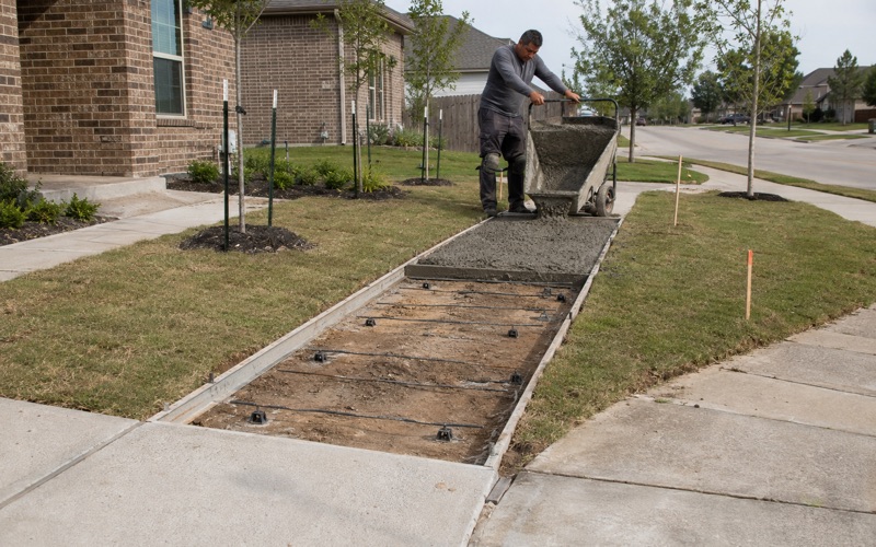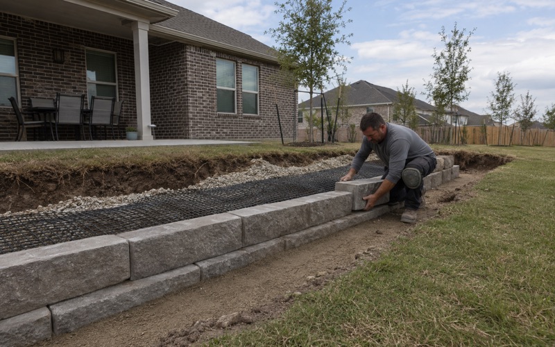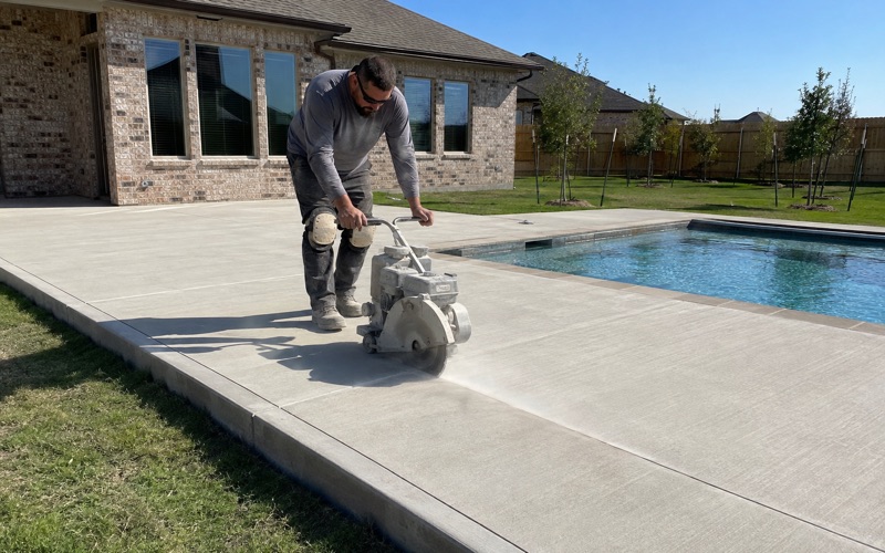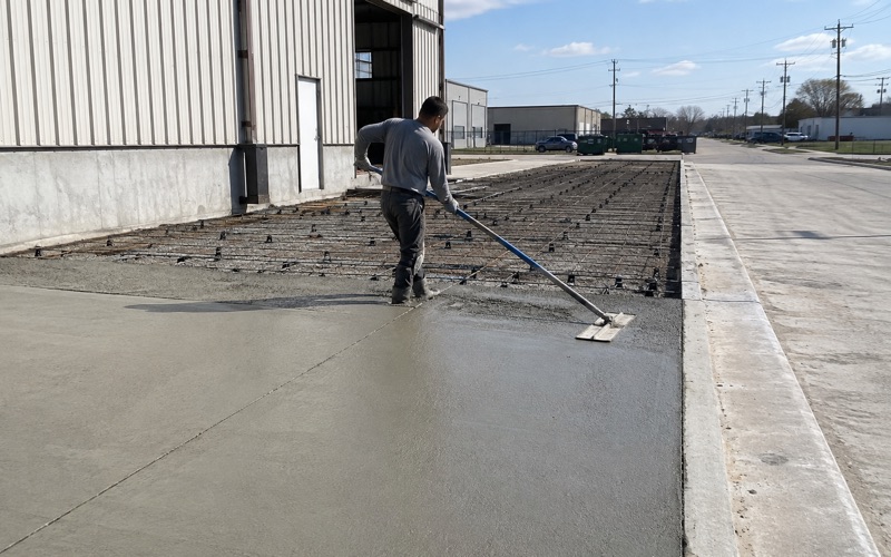
Kyle Elite Concrete works as a concrete contractor in Geronimo, TX on driveways, approaches, pads, slabs and repair work, and this is about as predictable a place as we pour in. One soil series accounts for nearly three quarters of the ground, and it sits nearly flat. That combination removes most of the guesswork from an estimate before we ever visit.
Predictability is worth money to you rather than to us. Where a contractor genuinely cannot tell what is under a lot, the sensible thing to do is carry a contingency, and you pay for that contingency whether or not it turns out to be needed. Here there is very little to hedge against, so the number on the proposal can be the number.
What does vary is the paperwork and the water. Which road your lot fronts decides who permits your approach, and whether your slab lands inside a mapped flood zone decides whether a second permit attaches to it at all.
One Series, Flat Ground, Few Surprises
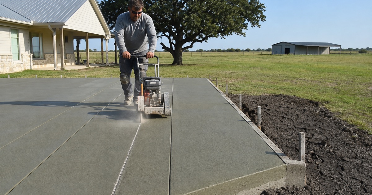
Branyon Clay on Nearly Three Quarters of the Place
Branyon clay on 0 to 1 percent slopes covers 64.94 percent of the place by itself, and Branyon on 1 to 3 percent slopes adds a further 7.83 percent. Houston Black clay accounts for 7.49 percent, Tinn clay occasionally flooded 6.19 percent and Barbarosa silty clay 5.96 percent. Ten map units intersect the boundary in all, three of them under 1 percent each.
Area-weighted across the named components, Vertisols cover 86.55 percent of the place with Mollisols at 13.41 percent. That is about as close to a single-condition place as this county offers, and it means a detail proven on one job here transfers honestly to the next one down the road.
River Terrace Rather Than Weathered in Place
The parent material is what separates this ground from the residual clays elsewhere in the county. Some 61.85 percent of the named components formed in calcareous clayey alluvium derived from mudstone of Pleistocene age, with 10.76 percent in Cretaceous mudstone residuum and 9.36 percent in calcareous clayey alluvium. This is river-terrace ground carrying a Vertisol rather than marl weathering in place.
That origin explains the flatness as much as the consistency. Terrace ground was laid down level by moving water, which is why slopes run to 1 percent across most of the place and why the drainage problem here is about falls rather than grade. There is no helpful slope to carry water off a slab, so wherever it goes is wherever somebody decided to send it.
Depth Is Not the Constraint
Across 97.07 percent of the place the component tables record no restriction whatever within the profile to 200 centimeters: no lithic contact, no paralithic layer, no petrocalcic pan and no densic material. A machine digging a footing or a trench here simply keeps digging.
That is worth stating plainly because it is the opposite of conditions a short drive west, and a crew used to that ground carries an excavation allowance that has no business in a Geronimo bid. Excavation here is a known quantity and the estimate should read like one, with a firm number rather than a range that quietly protects the contractor.
Looking for concrete-contractor closer to Cedar Creek? See Concrete-Contractor in Cedar Creek.
How Branyon Changes With Depth
The Shovel and the Footing Meet Different Material
Branyon is a fine smectitic thermic Udic Haplustert, and its profile changes character as it goes down. The Ap horizon from 0 to 31 centimeters carries 47 percent clay, a liquid limit of 63, a plasticity index of 39 and linear extensibility of 9.9 percent, at a saturated hydraulic conductivity of 0.91 micrometers per second.
The Bkss horizon from 31 to 183 centimeters is a different proposition: 53 percent clay, liquid limit 69, plasticity index 43 and linear extensibility 13 percent, at 0.21 micrometers per second. The material a footing reaches is measurably more expansive and roughly four times less permeable than the material a shovel turns over at the surface.
Why That Matters to a Slab
A slab bears on the surface horizon, but a thickened edge, a footing or a pier reaches down into the second one. Designing from a surface sample alone therefore understates both the movement the structure will actually see and how poorly the ground beneath it drains. We work from the whole profile rather than from the top spit, because the part of the soil that governs the outcome is the part nobody sees.
The practical response is reinforcement sized for the deeper movement figure and drainage detailed for the deeper permeability figure. Neither costs much at the time it is built, and both are expensive to retrofit once a slab is down and already moving. That asymmetry is the whole argument for getting the profile right before the pour rather than after the first dry summer.
Water That Effectively Does Not Drain
A saturated hydraulic conductivity of 0.21 micrometers per second works out at 0.030 inches per hour. Water that reaches the base under a slab on Branyon has nowhere to go, so it sits and cycles the clay through wet and dry states with each season.
That single figure is why we treat drainage as the most cost-effective line on any Geronimo proposal. Getting water away from the slab edge before it ever arrives does more for the life of a driveway here than an extra inch of concrete would, and it costs a small fraction as much. It is the rare item where the cheap answer and the right answer are the same answer.
Barbarosa, the Mild Soil in the Same Place
A Measured Contrast Rather Than an Impression
Barbarosa silty clay covers 5.96 percent of the place and behaves quite differently from the Branyon around it. It is a Udertic Paleustoll at 42.5 percent clay with a liquid limit of 58, a plasticity index of 33 and linear extensibility of 7.5 percent, at a saturated hydraulic conductivity of 2.7 micrometers per second.
That last figure is roughly thirteen times the conductivity of the Branyon Bkss horizon. On a Barbarosa lot both the seasonal movement and the drainage problem are materially smaller, which is a genuine difference in what a slab needs rather than a rounding error between two similar-sounding clays. The two soils look much alike in a trench and do not behave alike under concrete.
Why We Still Check Which One You Have
Six percent is a small share, but it is not nothing, and the two units do not announce themselves from the curb in any way a homeowner could check. A lot that happens to fall on Barbarosa is a lot where a full Branyon detail is more slab than the ground actually calls for, and you would be paying for reinforcement against movement that is not coming.
We would rather establish which map unit an address actually sits on and price accordingly than apply the dominant condition everywhere by default. The dominant condition is right most of the time, and most of the time is not the same thing as your job. Checking costs one visit; assuming costs whichever way the assumption turns out to be wrong.
Tinn, and the Low Ground
Tinn clay accounts for 6.19 percent occasionally flooded and a further 4.82 percent frequently flooded, which puts the low ground along the creeks into a different category again. Geronimo Creek and Alligator Creek both run through the place, with Geronimo Creek intermittent in its upper reaches.
On that ground the binding question is standing water rather than seasonal shrinkage, and it changes both how the subgrade is prepared and where concrete can sensibly be placed at all. It also changes the permitting picture entirely, because a slab inside a mapped flood zone picks up an approval that the same slab a few hundred feet away does not need.
Approaches, Permits and Where the Water Goes
Twenty TxDOT Segments Through One Place
SH 123 runs through the place as its spine, with twenty TxDOT on-system segments inside the boundary, joined by FM 2623 and FM 758. FM 20 lies under half a mile off, FM 1339 just under a mile, SH 130 a little over two miles and IH-10 a little over three.
An approach onto any on-system road is a TxDOT driveway permit rather than a Guadalupe County Road and Bridge one. On a place strung along a state highway that becomes the first question of the job rather than a detail near the end, because the two routes run through different offices on different timetables. Discovering the wrong one late costs weeks of calendar rather than days.
Where County Authority Starts and Stops
Where a lot fronts a county-maintained road, Road and Bridge permits and inspects the driveway, and the county’s own definition marks the limit of that authority precisely: an access constructed within a public right-of-way connecting a public street with adjacent property. The portion of your drive on private ground falls outside it.
There is no county building permit for detached residential flatwork here at all. The Fire Marshal’s permit scope reaches new commercial and public buildings, remodels for a new type of business, business occupancy and multi-family of five or more units, and a residential patio, carport pad or set of steps appears in none of those categories. The county operates no residential building-inspection department either.
Flood Zone Ground and the Permit That Attaches
Grid sampling puts 13.32 percent of the place inside a Special Flood Hazard Area, split as 6.85 percent Zone AE, 3.79 percent Zone A and 2.68 percent AE floodway, with 79.40 percent in Zone X at minimal hazard. A further 7.27 percent carries the 0.2 percent annual chance shaded designation.
That shaded band is a permitting distinction rather than a hydrologic footnote. It sits outside the Special Flood Hazard Area, so the Floodplain Development Permit does not attach to it, while the 13.32 percent inside the area does carry that permit for any slab placed there, because the county defines flatwork as development.
- 20+ Years in Hays County
- Insured & Permitted
- Free Estimates