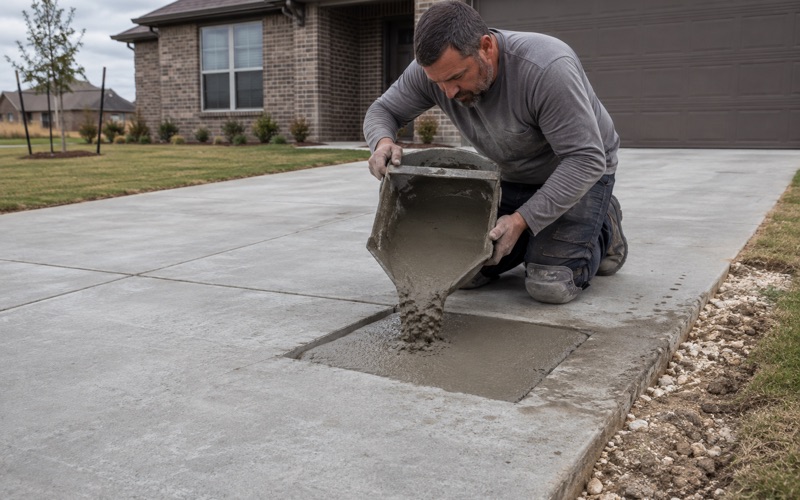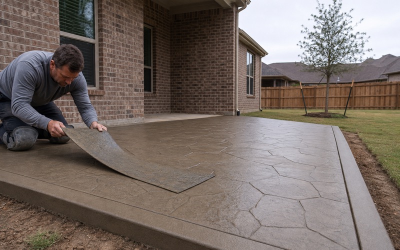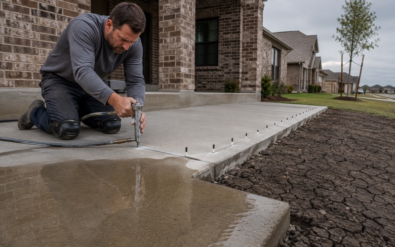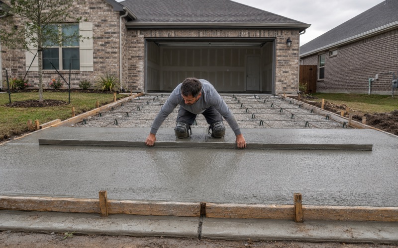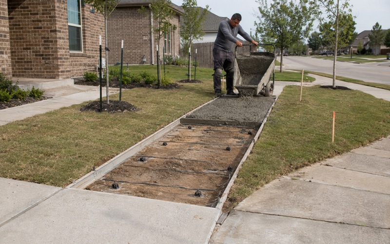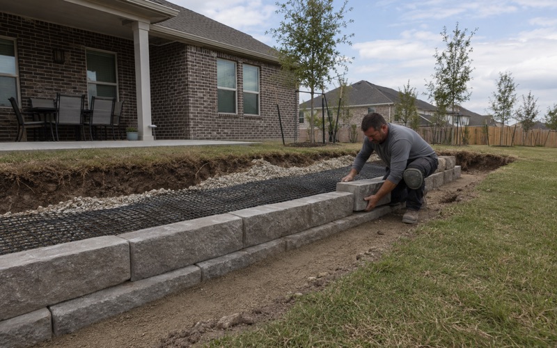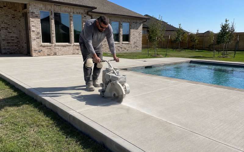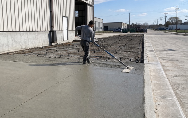
Kyle Elite Concrete works as a concrete contractor in Dripping Springs, TX on driveways, slabs, patios, walks and repair work, and here the price of a job is set by the excavation far more often than by the concrete. That is the opposite of how most of our estimates further east are built.
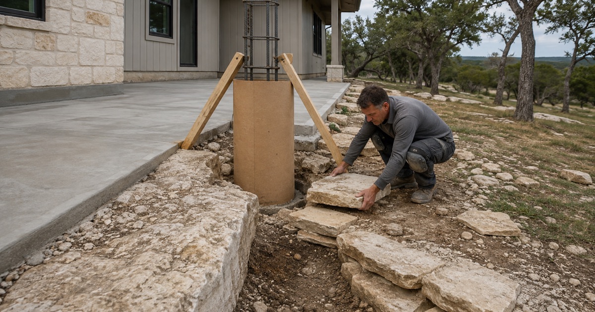
The reason is straightforward. This is limestone country almost end to end, refusal comes shallow, and whether a machine can rip through it or has to break it is close to a coin flip that can turn over inside a single lot. None of that is visible from the road.
So we come out and look before quoting, and where it matters we probe. An excavation line written from an assumption is the single largest source of change orders on this ground, and it is avoidable at the cost of one site visit.
Limestone Ground With Almost Nothing Else In It
Formed in Limestone, Chalk or Marl Across 93.9 Percent
Weighting each map unit’s named components across the city polygon, 93.9 percent of the soil components here formed in limestone, chalk or marl. Mollisols account for 66.1 percent of the taxonomic breakdown and Inceptisols 17.4 percent, with Vertisols at just 1.7 percent, which is a remarkably narrow range of parent material for a city of this size.
That consistency is the useful part. It means the questions worth asking on a Dripping Springs lot are about depth, hardness and slope rather than about which of several unrelated soils you have drawn, and it means experience on one job here transfers reasonably well to the next.
What That Actually Changes About a Bid
On limestone-derived ground the concrete specification is rarely the interesting variable. Thickness, mix and reinforcing follow from the loading much as they would anywhere, and the design work that matters sits in what happens below the forms rather than above them.
What moves the number is how much material has to come out, how hard that material is, and where it goes afterward. We price those three things explicitly on a proposal here rather than folding them into a rate per square foot, because folding them in is how a bid becomes a negotiation later.
The Small Pocket That Reads Differently
There is one area that does not follow the pattern, and it is small and named. Anhalt clay on 1 to 3 percent slopes covers 1.81 percent of the city, running 71 percent clay in its Bss horizons with a plasticity index of 56, a liquid limit of 85 and linear extensibility of 15.9 to 16.1 percent over moderately coherent paralithic bedrock at 74 centimeters.
Tarpley clay adds a further 2.07 percent with linear extensibility reaching 13.6 percent in its Bt horizon. On those two units the seasonal movement of the ground drives the detailing rather than the rock does, and we say so specifically rather than applying the citywide picture to a lot it does not fit.
Looking for concrete-contractor closer to Barton Creek? See Concrete-Contractor Services in Barton Creek.
Bare Rock Across Roughly One Acre in Eleven
Rock Outcrop at 8.8 Percent of the Surface
Mapped rock outcrop components total 8.8 percent of the city, which is a component share drawn from the survey rather than an impression. That is close to one acre in eleven where stone is at the surface rather than under a soil profile.
For flatwork that figure cuts both ways. Where a slab can bear directly on sound stone the support question answers itself, and where a trench or a footing has to cross it the cost of getting through becomes the dominant line on the estimate.
Which Map Units Carry It
The outcrop is concentrated in three complexes. Brackett-Rock outcrop-Comfort complex on 1 to 8 percent slopes covers 25.67 percent of the city and is 20 percent rock outcrop by component; Brackett-Rock outcrop-Real complex on 8 to 30 percent slopes covers 9.61 percent and is 25 percent outcrop; Comfort-Rock outcrop complex on 1 to 8 percent slopes covers 8.19 percent and is 15 percent outcrop.
Because these are complexes rather than single-soil units, the outcrop is interleaved with soil at a scale finer than the mapping resolves. Two adjacent corners of the same driveway can present different conditions, which is why we probe rather than extrapolate from wherever the first hole went in.
Slope, Which Is a Working Constraint on a Tenth of the City
The Brackett-Rock outcrop-Real complex on 8 to 30 percent slopes covers 9.61 percent of the place, and the Brackett component within it is mapped at 20 to 30 percent slope. That is steep ground by any flatwork standard.
Forming, placing and screeding on that gradient is a materially different operation from working the 1 to 5 percent units that cover most of the rest of the city, with implications for form staking, concrete workability and how many people need to be on the pour. We crew and price it accordingly rather than treating it as ordinary flatwork on a hill.
Rippable or Not, and Why It Is Close to Even
Paralithic at 45.8 Percent Against Indurated at 40.8 Percent
Across the named components of the map units covering the city, 45.8 percent carry weakly or moderately coherent paralithic bedrock and 40.8 percent carry indurated lithic bedrock, with only 8.1 percent recording no restriction at all. Neither category is a clear majority.
Paralithic material can generally be ripped with a toothed bucket or a ripper; indurated rock usually cannot, and needs breaking, sawing or drilling. Those two operations differ enough in time and equipment that guessing between them is the difference between a bid that holds and one that does not.
Brackett, Rippable at About Fourteen Inches
Brackett is the single most common component in the city, a shallow soil formed in residuum weathered from limestone, carrying weakly coherent paralithic bedrock at a representative 36 centimeters, roughly 14 inches. Its horizons run 30 percent clay at a plasticity index of 17 to 18 with linear extensibility of 2.3 to 3.3 percent and 60 to 65 percent calcium carbonate.
So on a Brackett lot the soil above the rock is quiet and shallow, and the rock beneath it is soft enough to work. That is close to the best case available here, and it is the condition a great many driveways in town are built on.
Comfort, in the Same Map Unit and Not Rippable
Comfort appears in those same complexes and reads the opposite way on both counts: indurated limestone at a representative 33 centimeters, about 13 inches, with a Bt horizon at 65 percent clay carrying a plasticity index of 46 and a liquid limit of 74, yet linear extensibility of only 3.2 percent.
That last figure is the one that matters. A plasticity index of 46 read on its own would suggest a soil that moves seasonally, and the linear extensibility says it does not, so the failure to design against on a Comfort lot is bearing on rock under thin cover rather than movement. Two components in one map unit, opposite excavation answers.
Pricing the Excavation Before the Concrete
Why the Excavation Line Is the Real Variable
Given a near-even split between rippable and unrippable refusal at depths around 13 to 14 inches, the excavation allowance is where a Dripping Springs estimate is won or lost. A contractor who quotes a flat rate is either carrying a contingency you are paying for or setting up a conversation once the machine stops.
We would rather establish the condition first and write a number we can hold. Where the ground genuinely cannot be established without opening it, we say that in the proposal and price the two cases separately rather than picking one and hoping.
Site Development, Grading and the Six-Foot Rule
Development in the city limits and the extraterritorial jurisdiction requires a site development permit before work begins, and grading or filling a vacant lot without a grade and fill permit is an offense under the city code. Neither is optional and both take time.
The city also caps earthwork depth: no fill may exceed six feet except as approved by the city engineer, and no cut may be greater than six feet unless the site development review committee approves it, with structural excavation excepted. On sloping rock ground where a level pad means cutting into a hill, that ceiling is a real design constraint rather than a formality.
Sidewalks, and the Criteria They Are Built To
Pedestrian concrete walkways are required for residential and nonresidential developments in the city and its extraterritorial jurisdiction. Where the transportation master plan does not set the width, commercial site developments require a minimum five-foot sidewalk within the adjacent street right-of-way along the entire frontage, and residential subdivisions require a minimum five-foot sidewalk on both sides of all streets.
Those walks are constructed in compliance with the Dripping Springs Technical Criteria, adopted as an exhibit to the city code, which governs construction inside the incorporated limits and the extraterritorial jurisdiction alike. We build to that document and name it on the proposal, so what was quoted and what gets inspected are the same standard.
- 20+ Years in Hays County
- Insured & Permitted
- Free Estimates