Kyle Elite Concrete works as a concrete contractor in Cedar Creek, TX on driveways, slabs, pads, patios and repair work, and the sequence we follow here is different from the one that suits the heavy clay country to the west. On this ground the drainage question gets answered before the reinforcement question, because the water is what decides whether the rest of it holds.
That is not a stylistic preference. The single largest map unit in the place is bottomland that floods frequently, and a great deal of the rest is claypan ground where a sandy surface sits on top of a dense subsoil that water does not pass through. Both conditions put water where a slab has to deal with it.
None of that makes good concrete impossible here, and plenty of it is straightforward once the site is understood. What it does mean is that a proposal written without looking at where water goes on your particular lot is a proposal written about a different place.
Post Oak Ground Rather Than the Prairie
Alfisols Under 65.1 Percent of the Place
Clipped to the place boundary, the major soil components come back as 65.1 percent Alfisols, 14.2 percent Mollisols, 5.0 percent Vertisols, 1.7 percent Inceptisols and 1.1 percent Entisols by area, all within the Bastrop County survey area. That is Post Oak Savannah claypan and floodplain ground, and it is a genuinely different soil order from the shrink-swell clays a short drive away.
The distinction matters because the two behave in opposite ways under concrete. The heavy clays to the west move seasonally and drain slowly but bear consistently, while claypan ground layers a light, permeable surface over something much denser and does most of its damage through water rather than through movement.
What an Alfisol Does Underneath a Slab
An Alfisol here typically means a sandy or loamy surface horizon over a clay-rich subsoil, and the interface between those two layers is where the trouble concentrates. Water travels easily down through the surface material, reaches the dense horizon, and then stops and spreads sideways rather than continuing down. That perched water sits directly under whatever is built on top.
For a slab, the consequence is a subgrade whose bearing strength changes substantially between a dry month and a wet one. The response is not usually more concrete; it is getting the water out from under the slab and keeping it out, which is a grading and drainage exercise before it is a concrete one.
The Small Vertisol Minority
Vertisols are present but they are a minority at 5.0 percent, and Behring clay loam accounts for 2.94 percent of the place on its own, running a plasticity index of 31 to 42 with a liquid limit of 54 to 67 at 37.5 to 51 percent clay and linear extensibility of 7.5 to 11.0 percent. Those are real movement figures on real ground.
So there are lots here that do want the heavy-clay treatment, and they are the exception rather than the rule. We check which category an address falls into rather than assuming, because applying the movement-first approach across the whole place would misread roughly nineteen lots in twenty.
Looking for concrete-contractor closer to Canyon Lake? See Concrete-Contractor Services in Canyon Lake.
A Frequently Flooded Unit as the Largest Single One
Whitesboro Clay Loam at 14.96 Percent
The largest single map unit in the place is Whitesboro clay loam on 0 to 1 percent slopes, frequently flooded, at 14.96 percent. It is worth pausing on that, because it is unusual for the most extensive unit in a place to be one that carries a flooding designation in its own name rather than a slope or a texture class.
Behind it come Crockett fine sandy loam on 2 to 5 percent slopes eroded at 14.84 percent, Wilson clay loam at 7.44 percent, Crockett on gentler slopes at 6.75 percent and Edge gravelly fine sandy loam at 5.32 percent. Between them those five units account for close to half the place.
What Whitesboro Actually Measures
Whitesboro itself is a mild soil by the numbers and behaves differently from every claypan unit around it. It runs a single horizon from 0 to 66 centimeters at 30 percent clay, with a liquid limit of 30.5, a plasticity index of 12 and linear extensibility of only 1.5 percent, in hydrologic group B.
Read on the soil properties alone that is easy ground: low movement, moderate clay, reasonable drainage. Everything difficult about it is in the flooding designation rather than in the profile, which is exactly why reading the soil table without reading the map unit name would give a badly wrong answer here.
Why That Changes the Order of the Work
When the most extensive unit in a place is bottomland, flood exposure stops being an edge case and becomes a standard question on the estimate. We establish where a lot sits relative to the mapped zones before designing anything, because that answer can move where the concrete goes rather than just what goes into it.
It also affects what is worth building. There are places on this ground where a thicker slab is a poor investment next to a regraded approach and a properly placed swale, and saying so honestly is more useful to an owner than selling the thicker slab.
Edge Against Crockett, Two Sands Over Two Subsoils
Crockett, With the Clay Very Near the Surface
The Crockett profile in this survey area puts its dense material close to the top. The representative profile runs an A horizon from 0 to 8 centimeters at 13 percent clay and 64 percent sand, with a liquid limit of 29 and a plasticity index of 11, sitting directly over a Btss horizon from 8 to 63 centimeters at 46 percent clay, liquid limit 62, plasticity index 38 and linear extensibility 9.0 percent.
A second representative profile gives a similar picture, with a thin surface layer over material at 47.5 percent clay and a plasticity index of 33. In practice that means an excavation for almost any slab section here is working in the subsoil rather than the surface, and the subgrade a slab actually bears on is the dense layer.
Edge, a Foot of Loose Sand Over Something Else Entirely
Edge is the opposite arrangement and it matters most for grading. Its A horizon runs from 0 to 28 or 30 centimeters at only 8.5 percent clay and 70 percent sand, with a plasticity index of 3 to 4, over a Bt1 from 28 to 74 centimeters carrying 47.5 percent clay, a liquid limit of 56.5 and a plasticity index of 36.
That is roughly a foot of loose sand lying on high-plasticity clay, and it is a genuinely awkward combination. The sand will not hold a compacted base by itself and the clay beneath it will not let water through, so a slab built without addressing the layering gets both a soft bearing layer and a trapped water table under it.
Wilson, the Wetter Claypan
Wilson clay loam covers 7.44 percent and is the wettest of the claypan units. Its Ap horizon runs 0 to 19 centimeters at 31 percent clay with a plasticity index of 16 to 26, over a Btss from 19 to 79 centimeters at 42.5 percent clay, liquid limit 58 and plasticity index 35, in hydrologic group C to D.
Tabor fine sandy loam adds 4.40 percent and is the one component here carrying a dual hydrologic group of C over D, which reflects a perched water table sitting above the claypan. A dual rating is the survey’s own way of saying that the drainage answer depends on how wet the season has been.
Building a Slab That Survives a Wet Season
Grade and Drainage First
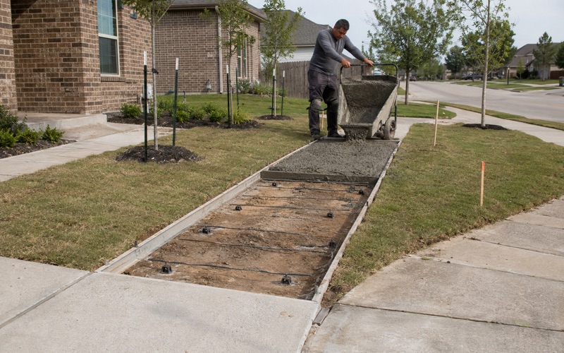
The first thing we set on a Cedar Creek job is where water leaves the site and how it gets there, because on layered ground that decision governs the performance of everything built afterward. Falls, swales, the approach elevation and the direction the slab sheds to all get fixed before any form goes in.
Doing it in that order costs a site visit and some thought. Doing it in the other order costs a slab that sits on saturated subgrade every spring and telegraphs the consequences within a few seasons, which is the failure we are most often called out to look at here.
Base Built for the Layering, Not the Average
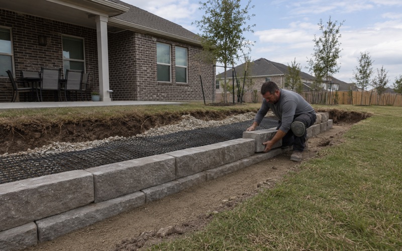
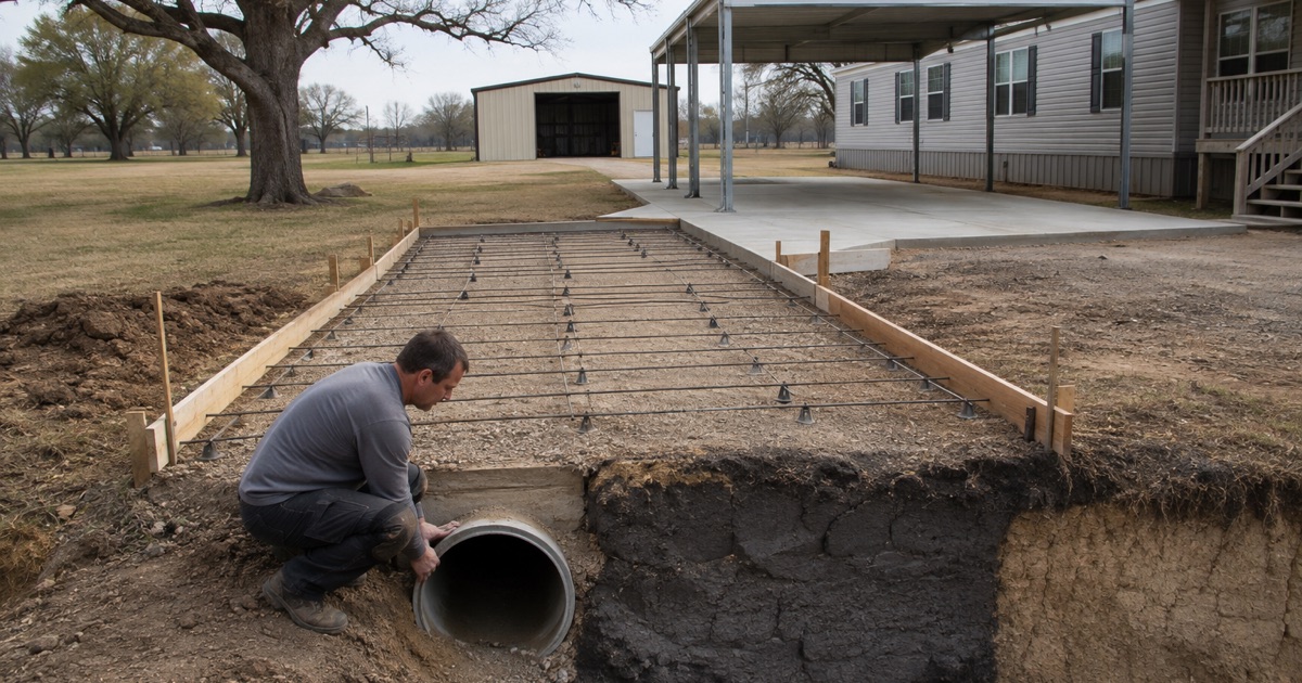
Where a light surface horizon sits over a dense subsoil, the base has to be built deliberately rather than assumed. That can mean removing the loose material, compacting to a verified density, and building a base that both carries load and gives water somewhere to go laterally rather than trapping it against the clay beneath.
We specify those layers on the proposal rather than pricing by area alone. A slab quoted purely per square foot invites the cheapest possible answer to every question underneath it, and underneath is where this ground does its damage.
Flood Mapping and the County’s Own Order
Several federal flood hazard categories are present inside the place, including Zone A, Zone AE, the AE floodway, the 0.2 percent annual chance shaded designation and areas of minimal hazard, mapped across the relevant panel set. The county’s flood damage prevention order adopts the flood insurance study and the maps that go with it.
Which of those categories a lot falls in changes what approvals a slab needs and sometimes whether it can go where the owner first wanted it. We check that at the estimate rather than after the design is agreed, since it is far cheaper to move a patio on paper than after it is formed.
- 20+ Years in Hays County
- Insured & Permitted
- Free Estimates