Kyle Elite Concrete works as a concrete contractor in Canyon Lake, TX on driveways, approaches, slabs, patios and repair work, and this place is the clearest example we know of why a clay percentage on its own tells you almost nothing useful. The soils here are genuinely clay-rich and they barely move.
That sounds like a contradiction and it is not. Clay content and seasonal movement are two separate measurements that usually rise together, and this is the place where they come apart completely. A contractor who reads the first number and stops will detail your slab against a problem this ground does not have, and leave the one it does have unaddressed.
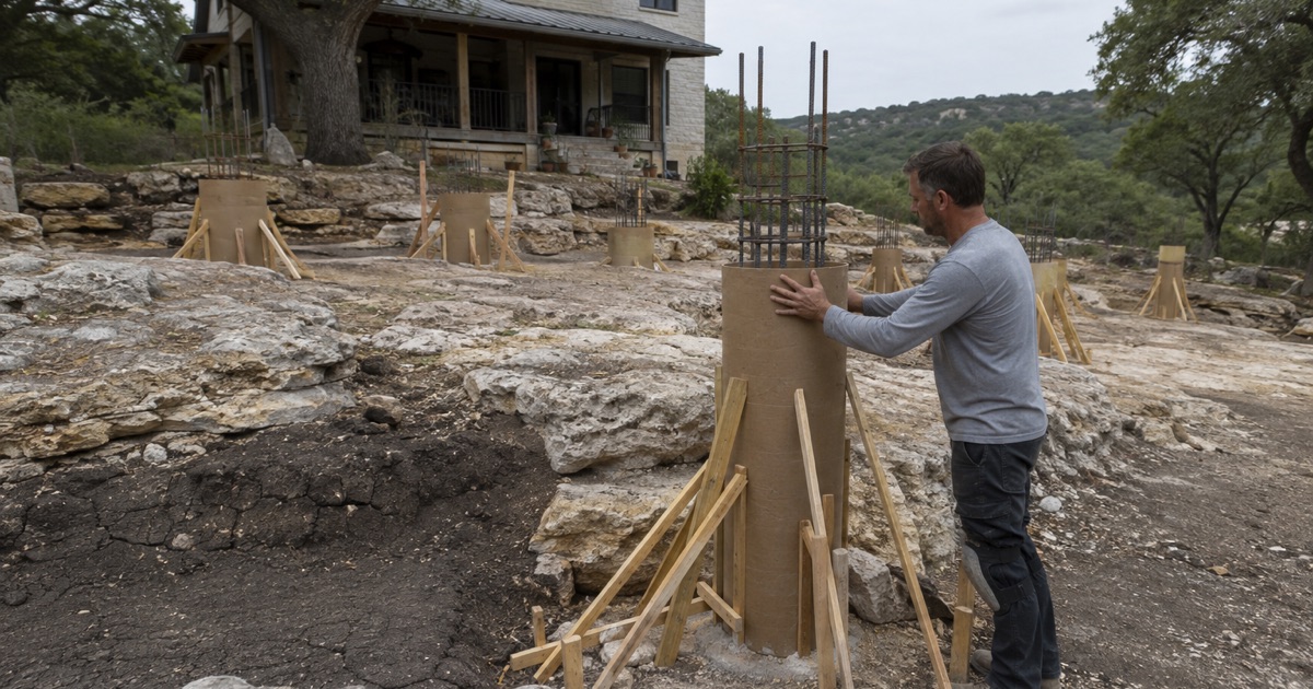
What the ground does have is rock, close to the surface, across most of the place. That is a footing, trenching and excavation condition rather than a bearing-capacity problem, and it is where the money on a Canyon Lake job actually goes. Anyone quoting here without establishing how deep and how hard that rock is at your address is quoting a guess.
Sixty-Five Percent Clay That Barely Moves
Two Numbers That Usually Travel Together
Comfort and Rumple both carry representative clay contents of 65 percent, which by itself would suggest ground that swells in a wet spring and shrinks hard through August. Their linear extensibility figures are 3.2 and 4.4 percent respectively, which is very little seasonal movement by any standard you care to apply.
Clay percentage measures how much of the soil is fine material, while linear extensibility measures how much the profile actually changes dimension as moisture comes and goes. Most of the time the two track each other closely, which is why quoting one as a proxy for the other usually works well enough. Here it does not work at all, and the error runs in the expensive direction.
Zero Vertisol Ground, Measured Rather Than Assumed
The cleanest way to say it is with the sample. Across the evaluated area, 0.0 percent is Vertisol-order soil and 0.0 percent carries a representative linear extensibility of 9 percent or greater. Those are not rounded-down small numbers; the category is simply absent here.
Brackett’s linear extensibility runs 2.6 to 3.3 percent, Real’s 1.9 to 2.1 percent, Comfort’s 3.2 percent, Eckrant’s 4 percent, Rumple’s 4.4 percent, Doss’s 5.6 percent and Bolar’s 3 percent. Every named soil in the place sits well below the level at which seasonal movement starts driving a design, and they do so consistently rather than on average.
What That Changes About Your Slab
Detailing a Canyon Lake driveway against seasonal ground movement buys reinforcement the soil will never call on, and it does nothing whatever about the condition that actually governs. That is paying for the wrong insurance while the real risk goes unpriced.
The design attention belongs instead on bearing across a variable rock surface, on joint placement where the support underneath changes character, and on the excavation itself. Those are the questions this ground actually asks, and every one of them is answerable before a truck is ordered rather than after a crack has appeared and someone is arguing about why.
Looking for concrete-contractor closer to Garfield? See Garfield Concrete-Contractor.
Shallow Rock as the Real Constraint
Twelve to Fourteen Inches Across Most of the Place
Weighting map unit share by major component percentages across the units whose properties were pulled, together covering 93.1 percent of the place, 69.0 percent of the polygon sits on soil with a root-restricting layer within 50 centimeters. Rock outcrop appears as a named major component across 16.2 percent.
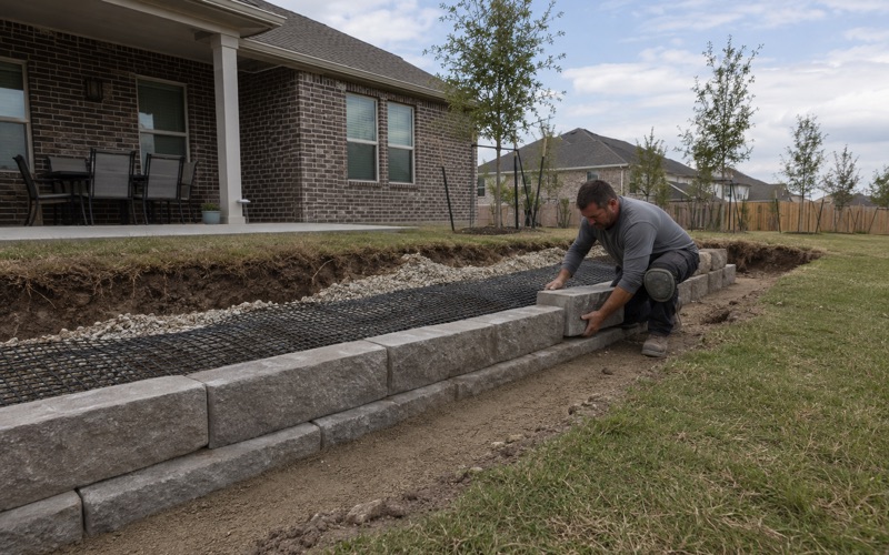
Twelve to fourteen inches down to rock across most of a place is an excavation and trenching condition rather than a bearing-capacity problem. A slab bearing on or near sound stone is very well supported indeed; the cost sits in everything that has to get below it, from footings and thickened edges to water lines, conduit and drainage runs.
Four Series, Four Refusal Depths
The restricting layers are shallow and they are rock, but they are not all the same rock at the same depth. Brackett carries a paralithic contact at 36 centimeters, Comfort a lithic contact at 33 centimeters, Eckrant a lithic contact at 30 centimeters, Real a paralithic contact at 36 centimeters and Doss a paralithic contact at 46 centimeters.
Rock outcrop components carry a lithic contact at zero centimeters, which is the survey’s way of saying the stone is the surface. The difference between a paralithic contact and a lithic one is the difference between material a ripper can work and material that has to be broken or sawn, and both are present here within the same map units.
Which Map Units Cover the Place
Brackett-Rock outcrop-Real complex on 8 to 30 percent slopes covers 34.10 percent of the place, Comfort-Rock outcrop complex on 1 to 8 percent slopes 23.43 percent, and Brackett-Rock outcrop-Comfort complex on 1 to 8 percent slopes 14.43 percent. Thirty map units intersect the boundary in all.
A further 8.50 percent of the polygon is mapped simply as water, which is the reservoir surface falling inside the boundary. Slope is a working condition here too: roughly 38.7 percent of the place is mapped on ground steep enough that its own map unit name carries the slope range, which changes how forming and screeding are crewed.
Aquifer Rules That Depend on Which Side of a Line You Sit
The Whole Place Is Inside a Regulated Zone
A dense grid sample across the place puts 89.4 percent in the Edwards Aquifer Contributing Zone and 10.6 percent in the Edwards Aquifer Recharge Zone, with none of it outside the regulated zones altogether. The two shares sum to a hundred, which is the internal check that the sampling and the zone geometry agree.
That means every job here sits inside the state aquifer program in one form or another, which is unusual and worth knowing before design starts. What differs, and it differs a great deal, is what the program actually requires of a given piece of work on a given parcel, because the two zones carry very different tests.
The Contributing Zone Threshold, and Why It Usually Misses Flatwork
On the Contributing Zone a plan is required for a regulated activity where the work will disturb at least five acres, or where it forms part of a larger plan of development or sale. A single residential driveway, patio or slab does not disturb five acres, so ordinary residential flatwork on that ground does not trigger a plan on its own.
The clause worth reading twice is the second one. Being part of a larger plan of development or sale is precisely what a lot inside an active subdivision is, so a job that looks small can still be caught by the requirement depending on the parcel’s history rather than on its size. We check that history rather than assuming a small job is exempt.
The Recharge Fraction Is Stricter, and It Governs a Straddle
On the Recharge Zone the position changes. All regulated activities require an approved Water Pollution Abatement Plan before construction, unless specifically exempt, and there is no acreage floor at all beneath that requirement.
More important for anyone near the boundary, a site sitting partly on the Contributing Zone and partly on the Recharge Zone must be treated as though the entire site were on the Recharge Zone. A parcel near the line is therefore governed by the stricter of the two regardless of which side most of it falls on, which is why we establish the zone at the address early.
Approaches, Inspections and Where the Standard Lives
A Pre-Pour Inspection, Written Into the Process
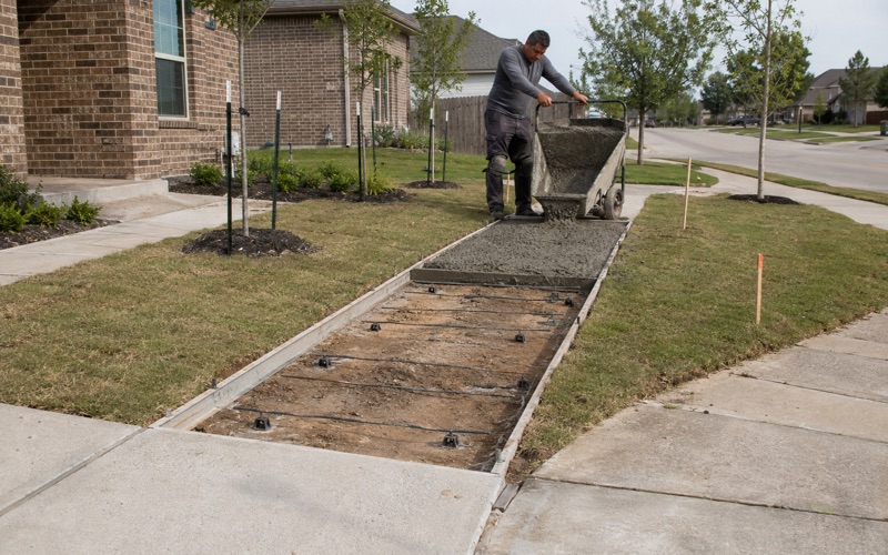
Concrete driveways here get a pre-pour inspection as a matter of published process rather than local custom. The county’s right-of-way permitting steps state plainly that construction of a driveway must comply with the driveway detail standard and that concrete driveways require a pre-pour inspection with the right-of-way inspector.
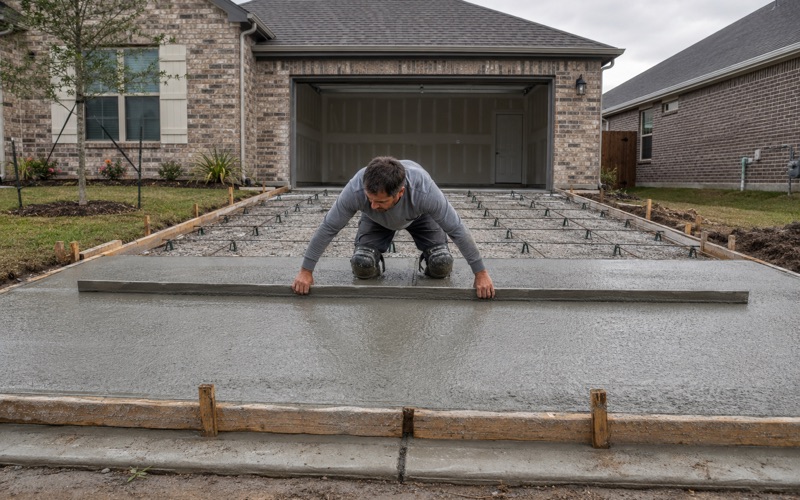
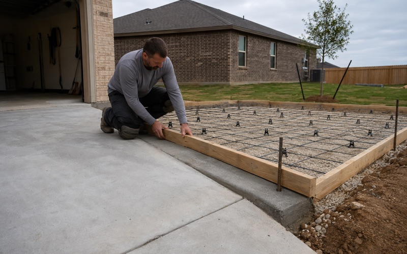
The practical consequence is that an apron in county right-of-way cannot be poured whenever the contractor happens to be ready. The inspector has to see the forms, the reinforcement and the subgrade before any concrete arrives, and we build that appointment into the sequence from the start rather than treating it as an interruption to work around.
The Permit Arrives at the End, Not the Beginning
The sequence here catches people out. What is issued at the on-site meeting is a permit to construct; the permit itself is issued only on completion of the final inspection, which the applicant has to request in writing, and the applicant acknowledges that the finished driveway will be inspected.
So the paperwork closes after the concrete is down rather than before it starts, which reverses the order most people expect. Knowing that in advance matters a great deal if a closing, a sale or a certificate depends on the permit actually being in hand, because the completion date and the permit date are not the same date here.
The Standard May Live in the Deed Rather Than the Code
A blanket right-of-way permit exists for developers, and it requires a typical driveway standard exhibit showing the detail for residential lot access, plus verification that the recorded covenants include that standard and name who is responsible for enforcing it.
In a subdivision here the driveway standard can therefore sit in the recorded covenants rather than in any public code, and the same is true of things like container pads, for which the county has no rule at all. We ask for the recorded documents at the estimate, because that is frequently where the binding specification actually is.
- 20+ Years in Hays County
- Insured & Permitted
- Free Estimates