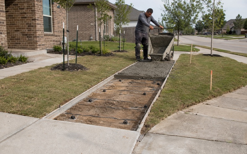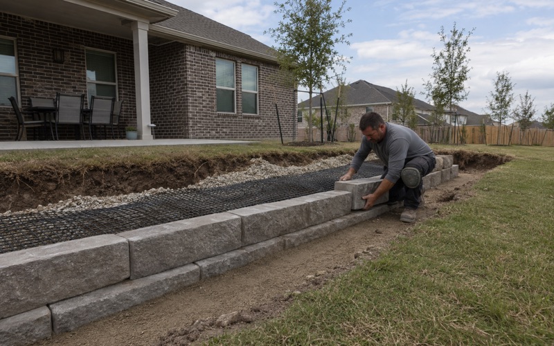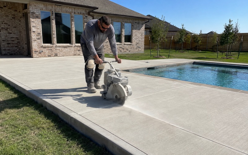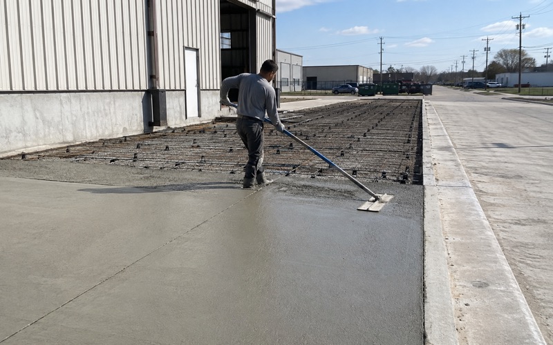
Kyle Elite Concrete works as a concrete contractor in Bee Cave, TX on driveways, sidewalks, patios, parking areas and slab work, and this is the one place we work where the environmental review reaches your flatwork before the concrete specification does. Planning that sequence correctly is most of what we bring to a job here.
In most of the region a patio or a driveway replacement is a conversation about thickness, reinforcing and finish. Here it is first a conversation about how much impervious cover the site already has, where the buffers fall, and whether anything on the lot is classified as a feature the code protects.
None of that makes the work harder to build once it is approved. It makes it slower to approve, and the cost of finding out late is measured in weeks of calendar rather than in dollars of concrete. We would rather raise every one of those questions at the estimate than discover a buffer line running through a patio after the forms are already staked out on the ground.
Flatwork Has Its Own Permit and Its Own Fee Line
A Flat Work Permit, Named as Such
Bee Cave does not fold driveways and sidewalks into some other approval. The city’s fee schedule at Section A2.001(j) sets a flat work permit fee for driveways, sidewalks, parking lots and similar work at 50.00 dollars, which tells you plainly that the city treats this category as its own permitted activity rather than as incidental site work.
That is worth knowing because it removes any ambiguity about whether your patio or drive sits inside the permit system. It does, it has a named fee line of its own, and the application goes through the city’s Planning and Development Department via the MyGovernmentOnline portal with Bee Cave selected as the jurisdiction. Nobody has to interpret whether flatwork counts here, because the schedule already answers it.
Contractor Registration, Annually
Separately from any project permit, the city requires every contractor and subcontractor to register annually, at 50.00 dollars each under Section A2.001(e) of the city fee schedule. Registration is processed through the same portal used for permits, and a certificate carrying a registration number is emailed once it has been processed. It is an annual obligation rather than a one-time one, which is where lapses happen.
This matters to a homeowner because an unregistered contractor cannot be listed on your permit, which stops the job before it starts and is a genuinely avoidable delay. We keep our registration current as a matter of course rather than treating it as something to sort out once a job is booked, so the application is not waiting on us.
The Other Triggers Worth Knowing
The city’s published permit-trigger list reaches several things that commonly sit alongside a concrete job here: retaining walls greater than four feet in height, major dirt disturbance, and decks over 200 square feet or more than 30 inches above grade. A reinspection carries its own charge of 150.00 dollars, which is a direct incentive to have the work genuinely ready when the inspector arrives rather than nearly ready.
So a terraced patio with a wall behind it can involve more than one permitted element. We identify the full set at the estimate, because a job scoped as flatwork alone and then found to include a five-foot wall is a job that stops while a second application is prepared.
Looking for concrete-contractor closer to Austin? See Concrete-Contractor Services in Austin.
The Contributing Zone and What It Attaches
Most of the City Sits Inside It
Of 85 systematically spaced interior points tested across the city against the official state aquifer map layer, 71 returned Edwards Aquifer Contributing Zone and 14 returned no intersecting zone at all. That is the great majority of the city, and it is measured across the footprint rather than inferred from one point.
Being in the Contributing Zone means state-level review under the Edwards rules attaches to regulated activities, sitting on top of anything the city itself requires rather than replacing it. For a homeowner the practical consequence is that added impervious surface is a regulated quantity here rather than a private decision about a back garden, and the review has its own timetable that has to be built into the schedule.
Impervious Cover Is a Number, Not an Impression
The UDC sets impervious cover limits as a percentage of net site area: new development is capped at 40 percent, while redevelopment of sites developed before the relevant ordinance may be permitted up to a maximum of 60 percent, established by survey of existing cover and in some cases validated by a percolation test.
Adding a patio, a wider drive or a parking area moves that number, so the first question on many Bee Cave jobs is how much headroom the lot has left. We ask it before designing, because a design that cannot be approved is not a cheaper design, it is a wasted one.
Water Quality Volume Scales With Cover
The same article sets the volume of runoff that has to be captured for water quality control at the first half inch of runoff, plus an additional tenth of an inch for every ten percentage point increase in gross impervious cover above 20 percent of the contributing drainage area. It is a sliding requirement rather than a fixed one, so what a project owes depends on where the site already sits.
That formula is the reason added flatwork here sometimes brings a drainage element with it rather than standing on its own. Because the required volume scales with how much cover the site already carries, the same patio can be a simple pour on one lot and a pour plus a control on another. Where it does, we price the two together from the outset rather than presenting a slab number and a later surprise.
Buffers and Features Measured From the Ground
An Eighty-Five Foot Water Quality Buffer
On upland waterways the water quality buffer zone extends a minimum of 85 feet from the outer limit of the peak two-year flood level on each side, paralleling all reaches with at least 30 acres of contributing drainage area. On Little Barton Creek and Barton Creek that minimum rises to 300 feet from the same line on each side.
Note what the measurement is taken from: not the bank, not a property line, but a flood level that has to be established. A drainage crossing the back of a lot can therefore carry a setback far larger than it looks like it should, and that is a survey question before it is a concrete one.
Critical Environmental Features
The code also protects critical environmental features, with a buffer zone extending a minimum of 150 feet around the outside periphery of the feature. In this part of the Hill Country those features include the kinds of bluffs and caves the area is known for, which is precisely why the protection exists.
A protected feature on or near a lot can reshape where flatwork is allowed to go, entirely independently of anything about the soil or the slope beneath it. Establishing whether one is present, and where its buffer actually falls on the ground, belongs at the start of a design rather than at the end. A 150-foot radius takes a large bite out of a residential lot.
Steep Slopes and the Four-Foot Earthwork Limit
The UDC limits nonresidential construction to areas with predevelopment natural grades of less than twenty-five percent unless the City Engineer approves otherwise, and it caps cuts and fills on a tract at four feet of depth, with stated exceptions for roadway right-of-way, building foundations and pools, and water quality or detention facilities.
It also requires any cut or fill finishing steeper than 33 percent to be stabilized with a permanent structure. On sloping ground, which is much of this city, that four-foot ceiling is a genuine design constraint on how level a pad you can create, and it often decides between one large terrace and two smaller ones.
Sequencing a Bee Cave Job So the Overlay Does Not Stop It
Establish the Constraints Before the Design
The order that works here is constraints first, then design, then permit, then pour. That means establishing the existing impervious cover, the buffer lines, any protected feature and the natural grades before anyone draws a patio, rather than designing to taste and then discovering what has to change. Every one of those is knowable in advance, which is what makes designing around them reasonable rather than restrictive.
It is a slower start and a much faster finish. Nearly every Bee Cave job we have seen go badly went badly because a design was priced and agreed before anyone checked what the site would actually permit, and unwinding that costs the homeowner both the redesign and the calendar. Establishing the envelope first means the design you approve is one that can be built.
Ground Conditions Still Matter, Just Second
None of the overlay changes what is under the slab. Most of the city is mapped in shallow Brackett ground over weakly coherent rock at around 46 centimeters, with rock outcrop a substantial component, and there are Eckrant areas with indurated rock at about 20 centimeters and creek-bottom strips that are sand and gravel.
We still probe and price the excavation on that basis, because a bid written without knowing whether a machine meets weathered rock at eighteen inches or hard rock at eight is not a bid at all. The difference in Bee Cave is simply that the soil conversation happens after the regulatory one rather than instead of it, and both have to happen before a number means anything.
Deed Restrictions Sit on Top of All of It
The city itself directs owners to their homeowners association and to recorded deed restrictions for requirements that apply even where a city permit is not required, and points people to the Travis County Clerk for a copy of what is recorded against their property. Those private restrictions can govern materials, color and layout in ways the municipal code does not touch at all.
So a Bee Cave job can have three separate approvals standing in front of it: the city permit, the state-level review where it applies, and a private architectural one from the association. They run on different timetables and none of them substitutes for another. We would rather map all three at the estimate than clear two of them and be stopped by the third.
- 20+ Years in Hays County
- Insured & Permitted
- Free Estimates